Canadian technology developed by a Cranbrook-raised man is being used in the search for missing Malaysia Airlines Flight 370.
Michel Lechmann, who graduated from Mount Baker Secondary School in 1986, is now a software engineer based in Halifax.
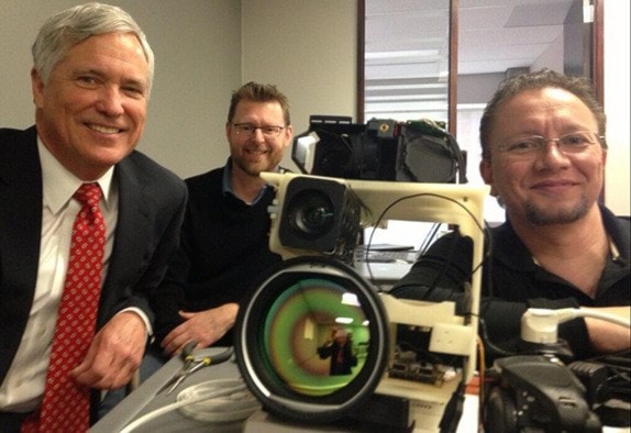
Through his company, CarteNav Solutions, Lechmann has created a software program installed in the Australian airforce's P3 Orions, being used in the search for the plane that crashed into the southern Indian Ocean earlier this month.
The Orions are among 12 planes and five ships from Australia, the U.S., China, Japan, South Korea and New Zealand taking part in the search for the plane, which has been missing since March 8 with 239 people aboard.
About a four-hour flight off the coast of Perth, Australia, the search area is massive – estimated at 1.6 million square kilometres, about the size of Alaska.
Satellite imagery has captured what is believed to be debris from the missing aircraft in the search zone. In the latest development on Wednesday, a French satellite found a possible debris field containing 122 objects.
Clouds obscured the latest satellite images, but dozens of objects could be seen in the gaps, ranging in length from one metre to 23 metres.
Various floating objects have been spotted in the area by planes over the last week, including on Wednesday, when the Australian Maritime Safety Authority said three more objects were seen. The authority said two objects seen from a civil aircraft appeared to be rope, and that a New Zealand military plane spotted a blue object.
Lechmann said that his software, installed on the P3 Orions, is proving vital in the search for debris.
The software connects to a camera that is installed on the belly of the planes.
"It looks like an R2D2 upside down," Lechmann explained. "It's a very high-end camera that can see multiple miles away – much further than your eye can."
CarteNav's software is able to control that camera and point it at any possible debris, then take photos of the objects and immediately upload the location to a map that can be shared with ships down below.
"What's happening with the Malaysian search right now is they are getting a bunch of satellite pictures. They are taken from outer space and they don't give a lot of detail because it's so far away," said Lechmann.
"But that satellite imagery has GPS locations in it. So that GPS location can be put into our system, they can go looking for it, and then we can point the camera to look at things in the water and take high-definition images. So if they do see something, they will get a very detailed image of what it is and the location of it.
"Then it's plotted on a map and they can share that with navy ships or other units in the area, so they can go and investigate and pick it up out of the water."
As well as using satellite imagery as a guide, the aircraft are fitted with radars that show a blip on the screen when something is poking out of the water, Lechmann said.
"They could then point the camera to that and go and investigate what it is."
He said the software has been used all over the world to capture things on the ground from an aircraft flying above. For instance, it is used for fire mapping in Australia, to spot oil slicks in the United Kingdom, and for polar bear inspection in northern Canada.
Lechmann took electronics courses at Mount Baker Secondary, and when he graduated he moved to Calgary to study electronics engineering technology at the DeVry Institute. After college, he joined the navy as an engineer, and he was relocated to Halifax in 1991. He left the navy in 2002 to start up CarteNav Solutions.
Lechmann's father and brother still live in Cranbrook.
With files from Associated Press.