The ridge of high pressure that has been dominating the weather over southern BC will give way to a cold front on Saturday, according to Environment Canada.
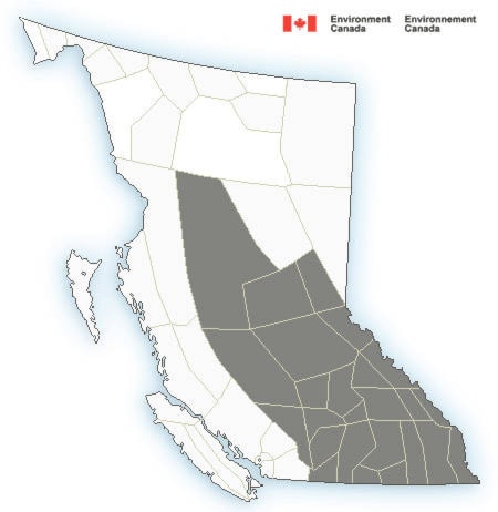
Widespread winds of 20 to 50 km/h are expected beginning Saturday afternoon over the central and southern interior.
The strong winds will push into the Kootenays by early Sunday morning. Local winds gusts up to 70 km/h are possible through some interior valleys and canyons.
The only rain accompanying the front is expected north of the Cariboo region. There is also the risk of lightning over the central and northern Interior as well as over the Kootenays and Columbias.
Temperatures will drop by 6 to 8 degrees in the wake of the front Sunday. Unfortunately, significant rain continues to elude the southern half of the province for the foreseeable future.
According to the BC Wildfire Service, this forecast weather has to the potential to challenge their efforts to contain the many large wildfires currently burning across southern B.C., and could cause growth on a number of these incidents.
In addition to the special weather warning on wind, an air quailty advisory is also in place for much of the BC Interior.