A wildfire risk reduction project (WRR) is set to begin just south of Cranbrook on Friday, Oct. 15.
The Ministry of Forests, Lands and Natural Resource Operations and Rural Development (MFLNRORD) is leading the landscape level forest fuel reduction project to abate wildfire risk to the community and it includes both manual/hand thinning with chainsaws as well as large scale mechanical operations.
Treatments include removing ground fuels and juvenile trees to reduce the connectivity of fuels across the landscape, thereby reducing the likelihood of a catastrophic crown fire entering Cranbrook.
“This will be the third year of treatments in the landscape level fuel break,” read a release from the City of Cranbrook. “It is a significant area, which encompasses crown land north of the large transmission line and extends east from Highway 95 at the junction of the Peavine FSR to Gold Creek Road near the reservoir.
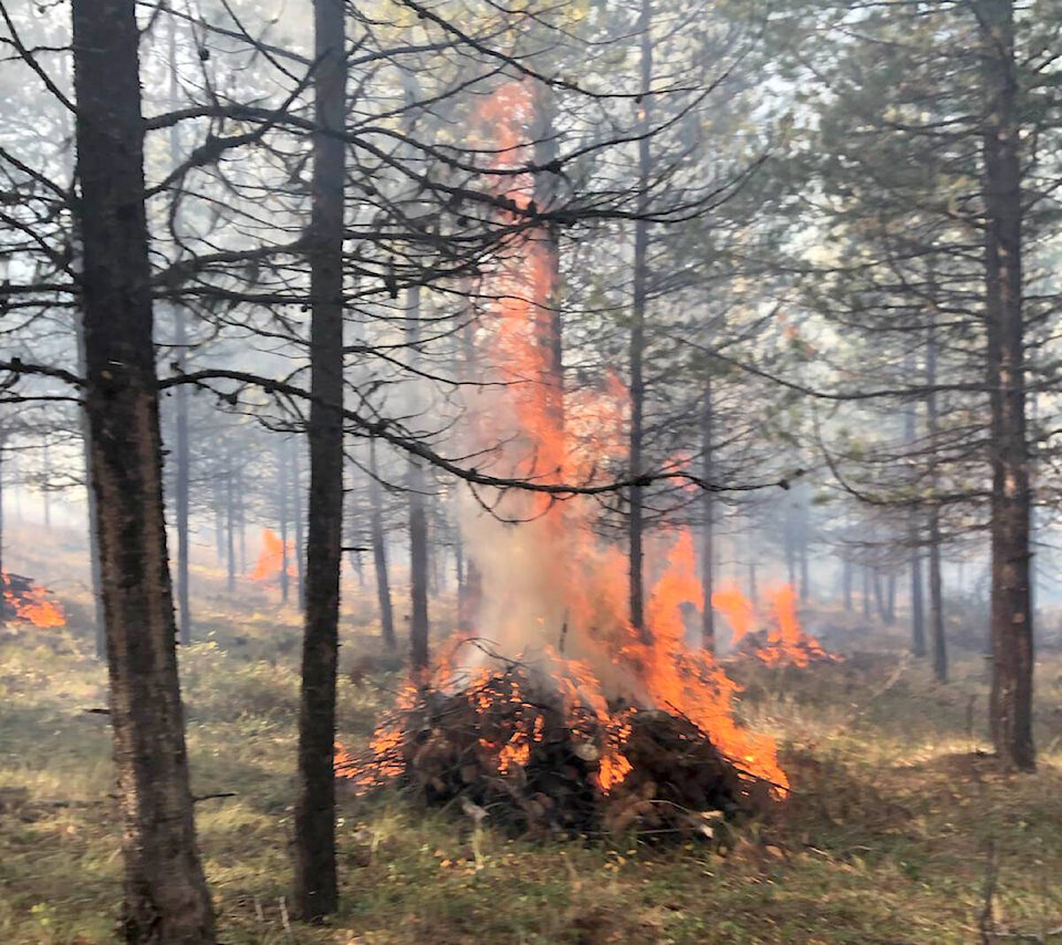
A manual thinning project is scheduled to begin Friday, October 15, near the Southstar trail network. This will involve work crews with chainsaws, and debris will be piled and burned.
Access for trail users is intended to be maintained during this time. The City is asking users to obey all posted signage in the area.
A mechanical fuel reduction project is also tentatively scheduled to begin on Tuesday, October 19. Approximately 141 hectares will be treated in the Peavine/Hidden Valley area.