After a stretch of some unseasonably warm days, Environment Canada is forecasting a cold front moving in that should drop temperatures closer to seasonal averages and potentially bring with it some showers or flurries at higher elevations.
That said, in the Southern Rocky Mountain Trench, highs until then will remain in the 10 to 14 degree range.
By Wednesday night, temperatures should drop down to highs of around 9 degrees in the valley bottom, but Environment Canada meteorologist Doug Lundquist said these temperatures are more reflective of average for this time of year.
“So the average high this time of year is between about 7 and 9 degrees in the valley bottom and we’re just returning to normal or to average when we cool off there on the weekend, and then warming up for Sunday and Monday again,” Lundquist explained.
By the middle of next week temperatures are expected to get even warmer than they are now.
“It is definitely spring,” Lundquist said. “We count spring in meteorology from March 1, so we’re definitely full-on spring now in the valley bottom anyway.”
This comes after what Lundquist said was a warmer and dryer overall. With winter being defined as Dec. 1 through to the end of February, this area was nearly a full degree above average temperature: -4.6 when it’s usually -5.5 overall.
The area also only received 80 per cent of the average precipitation for the season, getting 64 when we usually get around 79 millimetres of rain and snow melted, making for a warm, dry winter.
However, February was the odd month out being nearly three degrees colder than average.
So even though it was 3.1 degrees colder than average in February, winter still ended up warm, that’s because December and January were so warm,” Lundquist said.
February saw an average of -6.3 when it’s usually -3.2, so it was cold and very, very dry. The area only received three millimetres of precipitation, just 18 per cent of the average of 19. It is important to note that when talking about averages, they are reflective of what was received in the valley bottom, not up in the alpine.
Looking ahead, our part of the province can expect temperatures that are near to above average for the next three months.
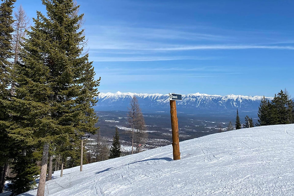
“It is probably spring skiing conditions,” Lundquist said. “The sun has so much power, that that’s also a factor that not only is it warmed up, but the sun has way more energy, it’s more than half of what we get in July already coming at high noon, so definitely spring skiing and spring in the valley and we should be getting flowers any time soon.”
paul.rodgers@kimberleybulletin
Like us on Facebook and follow us on Twitter