Lake water continues to lap against homes in Wasa as levels increased again Wednesday.
According to a statement by the Regional District of East Kootenay (RDEK), the lake was expected to rise another 10 to 12 inches through Wednesday.
A total of 13,500 sandbags were delivered to Wasa, and a forestry crew from Cranbrook sandbagged around nine homes. Twelve pumps are in the community to help residents remove water from their homes.
Kootenay Pond (also known as the slough) dropped 22 centimetres on Tuesday and is now draining into the Kootenay River. The flap gate between the slough and Cameron Pond is now open and draining.
BC Parks closed boat launches on Wasa Lake Wednesday, and the RDEK is urging boaters to stay off Wasa Lake.
"The water is literally lapping at the door of some homes and cabins," said Information Officer, Loree Duczek.
“In other areas, residents have spent hours and hours sandbagging to protect their homes and our concern is that the wake and rough waters caused by boats could not only increase water in the affected homes, but knock down the sandbags that have been so carefully placed.”
Water levels at Wasa could continue to rise for another four to seven days. Community members have set up a blog, www.wasa-lake.blogspot.ca, where residents can see updates on the flood.
Meanwhile, in the Elk Valley the clean-up is underway. Hosmer residents have taken advantage of Red Cross kits to help with clean up. The RDEK is waiving tipping fees for flood-related garbage.
An evacuation alert is still in place for homes in Dutch Creek, south of Fairmont. Work to reinforce rap rap along the banks of the creek is almost complete, and the water has stopped rising.
All roads are open, but at Skookumchuck bridge and in Wasa the highway is still only single-lane alternating. It’s hoped the bridge will be reopened to two lanes later this week.
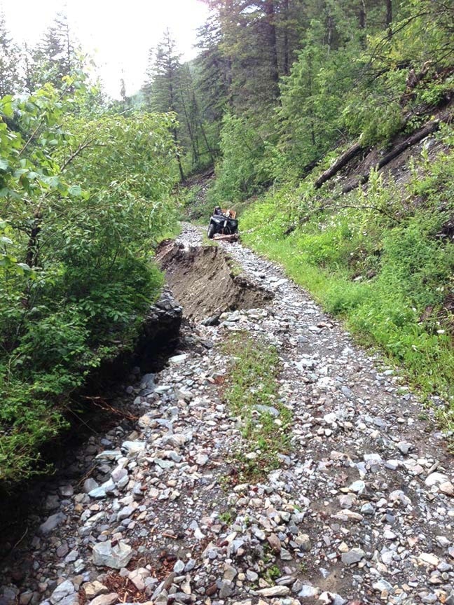
Off the beaten path, many backcountry roads are off limits. This week, Rocky Mountain Forest District updated the list of closed backcountry roads, and continues to urge people to stay away from the backcountry. Many popular hiking areas will not be accessible until roads are repaired, including Fisher Peak, Tanglefoot, and Perry Creek. Here is a list of closed roads:
Bull River Forest Service Road is closed at 32km due to water on the road, at 52km and 54km half of the road is gone and not passable, at 63km and 68km there are washouts, at 71km there is a landslide, at 92km the river is on the road, and at 94km there is a washout.
Wildhorse Forest Service Road is closed at 15.5km due to large rocks on the road.
Mause Creek Forest Service Road is closed at 4km due to a landslide on the road.
Summer Lake Forest Service Road is closed at 50km due to a washout.
White River (Whiteswan) Forest Service Road is closed at 32.5km due to the bridge approach being washed out, at 37km due to a washout, and at 44km a bridge is washed out.
Kootenay Forest Service Road is closed at 5km due to water flowing over the road, and at 32km due to a bridge approach being washed out.
Skookumchuk Forest Service Road is closed at 35km due to a washout.
St. Marys West Fork bridge is closed at 10km due to a washout. St. Mary’s Lake outlet bridge is closed due to high water and instability. The bridge is closed at this time. The bridge will be replaced between July 15 to August 31, 2013.
Findlay Forest Service Road is closed at 20km due to high water. There is a high potential for bridge damage.
The Gray Creek Pass is closed at 3km due to a washout.
On the Flathead Forest Service Road from Corbin south to Flathead town site, there are multiple washouts including all bridges and culverts.
On River Road Forest Service Road at 3km, near Elko, the approach to bridge is damaged. Use caution when crossing.
Elk River Forest Service Road is closed at 2km due to water on the road, at 104km, 118km and 123km the road closed due to washouts, at 125km the bridge approach is washed out, at 138km there is a debris slide on the road, at 140km the bridge is closed (both approaches are washed out), and at 145km Weary Creek bridge is washed out.
Perry Creek bridge at two kilometres will be closed from July 2 to July 6 for deck replacement.
Visit www.for.gov.bc.ca/drm/services/road-works.htm for full details.