Environment Canada has issued a special weather statement across the Southern Interior this week.
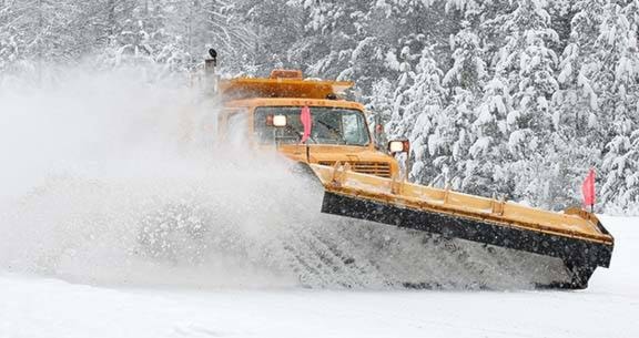
On Tuesday a deepening Pacific low pressure system will track up and across northern Washington state. This system will combine plentiful moisture with cool northerly winds near the surface. The result will be heavy snow starting tonight and continuing through Wednesday morning for most communities in the southwestern Interior and Kootenays.
Storm total snowfall amounts will range from 15 to 25 cm with the highest amounts falling near the U.S. border.
Some regions in the Kootenays may get more than 25 cm from this storm. Winter Storm Watches are in effect for Boundary, West Kootenay and Elk Valley.
A break in the weather is forecast later Wednesday before an Arctic front sweeps through on Thursday. The Arctic front will bring a few flurries and, more noticeably, colder air to the southern interior for the rest of the week. Overnight lows will drop to between minus 10 and minus 15; daytime maximums will be several degrees below zero.