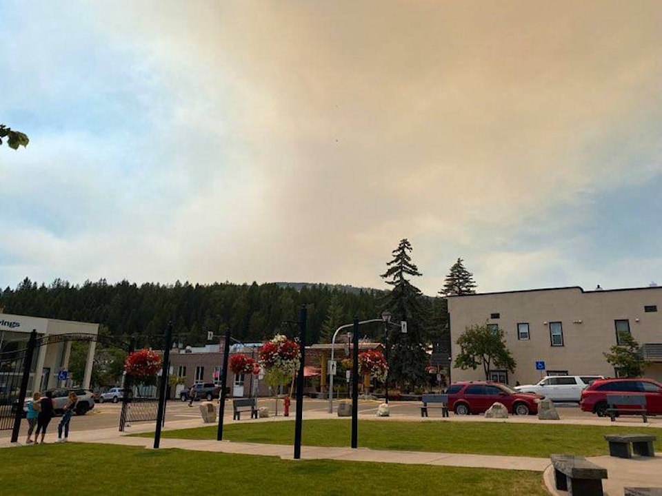
Smoke seen rising from behind Kimberley Alpine Resort on Thursday, Jul. 15 was most likely emanating from the Akokli Creek fire, which has seen some growth according to Southeast Fire Centre Information Officer Kim Wright.
READ MORE: Area restriction in effect for Akokli, Redding Creek areas
The Akokli Creek fire was reported to be at 95 hectares on Wednesday and has grown to 238 hectares on Thursday. Also burning in that vicinity is the Redding Creek fire which has grown from 100 hectares to 130 in that same period of time.
You can stay up to date with the size and activity of this and other fires burning in the region on the BC Wildfire Service’s dashboard.
A reminder that there is an area restriction for the following:
• Commencing at highway 3a Junction of Gray Creek Pass Forest Service Road (FSR), south to the junction of Sanca Creek and highway 3a , east following Sanca Creek to the height of land east of Jackson Peak, then north following the height of land to Redding Creek FSR.
• West on the Redding Creek FSR to the Gray Creek Pass FSR, continuing to the commencement point at highway 3a.
• Lockhart Beach Provincial Park and campgrounds adjacent to highway 3a are not included in the area restriction.
• Note: Access along the Gray Creek Pass FSR and Redding Creek FSR is permitted but entrance into the restricted area from those FSR’s is prohibited
More to come.