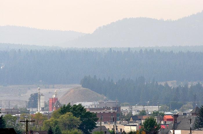
Smoke from wildfires in the Okanagan and in Alberta is bringing a haze of smoke to the East Kootenay.
Jordan Turner, fire information officer for the Southeast Fire Centre, said the smoke that is making its way to Cranbrook is being seen across the fire centre's jurisdiction.
"There's a lot of smoke coming from a wildfire on the border of Banff National Park in Alberta," Turner said. "We're also seeing it come in from a fire on Apex Mountain in the Okanagan. So with the weather system, we're kind of getting it from both directions."
He said they are expecting a temperature inversion to move the smoke out of the valleys soon.
"But with the many wildfires we have happening now in eastern Washington and north of Prince George we're expecting smoke on and off for the foreseeable future throughout the entire region," he said.
Donna Haga, air quality meteorologist with the B.C. Ministry of Environment, said the Kootenays are sitting below the air quality objective levels right now, but they are close to the advisory levels.
"I would say people should use common sense — if it looks smoky outside it probably is. If folks are experiencing health effects from this then they should certainly take precautions."
There is an advisory for Golden right now.
She noted that none of the fires currently in the Kootenays are what the Wildfire Management Branch would call "of note" which means they would significantly impact visibility or people's health.
"You turn on the news and hear there are fires all around the province, and that smoke can travel large distances," she said. "I think the temperatures are supposed to cool off a little going into the weekend, but it's still going to be quite warm."
She said it's difficult to predict how the air quality will fluctuate, especially with wildfires, but there are some tools to allow the public to look at the forecast.
The Wildfire Management Branch has an interactive map that shows where fires are currently burning on www.bcwildfire.com. There is also www.bcairquality.ca which includes an hour-by-hour forecast of smoke from wildfires in western Canada.
Turner said there are a few small wildfires burning in the East Kootenay, which initial attack crews are working on. There are a four initial attack targets near Elkford, all under one hectare in size. He said those are all deemed to be lightning caused.
There is also an initial attack fire that is 5.5 hectares in size just west of Canal Flats. He said that one was industry caused and is under investigation.
There is another fire about nine kilometres east of Creston that is less than a hectare in size. It is under investigation as well.
The City of Cranbrook is warning the public to use extreme caution in any forest activity in and around the community, noting especially to be cautious with backcountry recreation activities involving motorcycles and ATVs, campfires and smoking.
The Wildfire Management Branch has rated the fire danger as high. That means that forest fuels are dry and wildfire risk is serious. New fires may start easily and burn vigorously and challenge fire suppression efforts.
If you see smoke or fire call the Southeast Fire Centre toll free at 1-800-663-5555 or call *5555 on most cellular networks.
For current fire danger ratings, maps and news on active fires in the Southeast Fire Centre please visit www.bcwildfire.ca.