The recent cold snap is expected to diminish slightly over the New Years weekend, before temperatures head right back down and more snow falls into next week, as the La Nina winter progresses.
Arctic air clinging to the interior B.C. is to blame for the recent cold temperatures here in the East Kootenay, according to Environment Canada meteorologist Brian Proctor. Heading into the weekend that cold air is moderating slightly and pulling back up further north and east, as some warmer air coming through coastal B.C. will stir the air across the southern part of a province to a degree.
Proctor said the weekend will see mixed skies with some sunshine and some clouds, and temperatures could climb slightly from the mid minus twenties into mid to low minus teens at the start of the next week.
“Unfortunately the arctic air is just starting to deepen again next week over the Yukon and northern B.C. so I expect this reprieve to be fairly short for the first week of January,” Proctor said. “Then we’ll probably start cooling off again as that arctic air descends back south.”
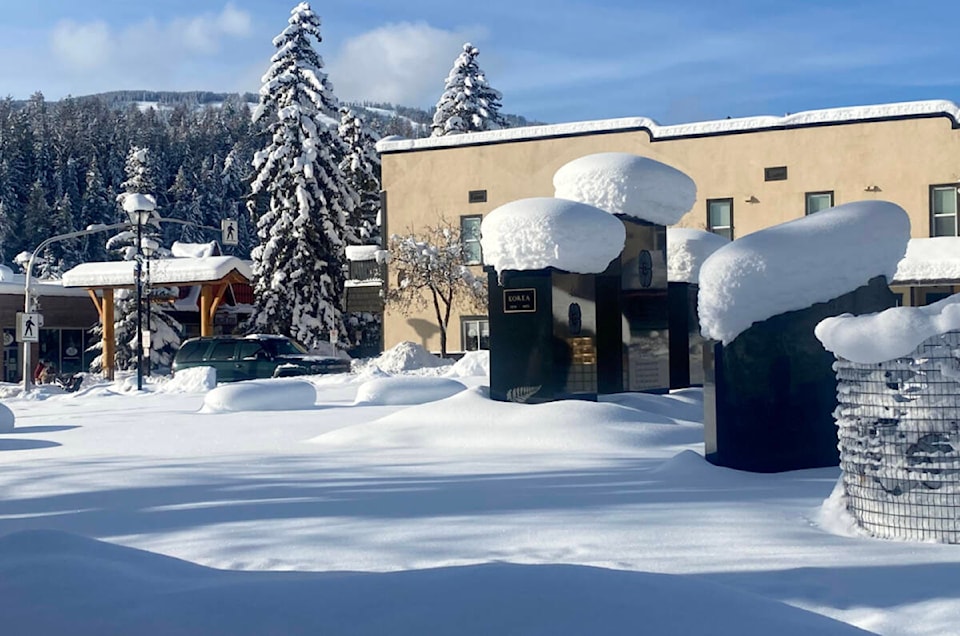
In terms of snowfall, the Cranbrook Airport area generally sees about 34.4 centimetres at around this time, while this year it’s currently sitting at about 32 centimeters.
“The amount of snow on the ground is fairly typical for what we tend to see,” Proctor said. “We’ve seen a lot of variability unfortunately at the airport as we see some of that snowpack be blown around and it sort of sublimates a little bit and it moderates up and down. In terms of snowfall amounts, we’ve seen about 42.4 centimetres so far this month and that’s a little bit higher than we normally would see.”
Proctor said Cranbrook and Kimberley are likely to get a few flurries through the day on Sunday, Jan. 2 with increased periods of snow that night and into Monday morning
“We shouldn’t see a whole lot for New Years Eve and into New Years Day, just a few flurries, but we’ve got a better chance of getting measurable snowfall Sunday night into Monday,” he said. “And that’s really with that impulse of warmer air trying to come in from the coast.”
Proctor said that from a meteorological standpoint the important takeaway heading into these last two months of winter is their seasonal forecasts indicate that the Kootenays, particularly the northern Kootenays, have a good chance of being below normal temperature averages.
The southern Kootenays, including Cranbrook and Kimberley will more likely flirt with colder than normal temperatures, but less so than in the north, but in general terms, it is setting up to be a La Nina like winter, which along with colder weather, also usually means heavier precipitation.
paul.rodgers@kimberleybulletin
Like us on Facebook and follow us on Twitter