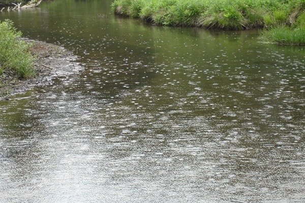
The rain is coming down and the rivers are rising as the East Kootenay is hit with a weather wallop.
A cold low pressure system has settled over southern B.C. and Alberta and it's sending lots of rain our way, says Environment Canada meteorologist Doug Lundquist.
"It's really wet in your area. You are the part of the province that's going to get a significant dump in the next two days," he told the Townsman Wednesday morning.
"There is a really big concern for the East Kootenay to get rain wrapping around from Alberta, particularly in the Elk Valley."
Cranbrook and Kimberley can expect 30 to 40 millimetres of rain by Thursday morning, then up to another 25 millimetres of rain into Friday.
Fernie and Sparwood were forecast to receive 20 to 30 millimetres on Wednesday night, then 15 millimetres on Thursday and up to 35 millimetres on Friday.
"You will probably get snow in the higher terrain in your area as it cools off over the next couple of days," Lundquist warned.
All that moisture is coming from a big low-pressure system that is sitting over Washington.
"It's like a pin wheel. There are spokes of moisture that rotate around those upper lows," said Lundquist.
"Think of the low being over Washington and everything rotates around that in a counter clockwise fashion. Moisture will come up from east of the mountains, wrap into the Foothills of Alberta, dump copious amounts of moisture on the Alberta side, and that will spill across into B.C."
Although it might seem like we are getting a lot of rain here in the East Kootenay over the next few days, it will only be a fraction of what southern Alberta is getting.
Calgary is forecasted to receive 100 millimetres of rain on Thursday and Friday.
"We are getting stuff spill into B.C. but not the extraordinary amount they are going to get in southern Alberta," said Lundquist.
He called this spring weather "monsoon season", and said a similar weather event happens every year, somewhere in B.C.
"This happens every year, but it's where that's the question. A couple of years ago, it happened that it was further north and it dumped the rain in the Peace Country. There were all sorts of roads washed out," said Lundquist.
In response to the dire forecast, B.C.'s River Forecast Centre has issued a High Streamflow Advisory for the East Kootenay, and upgraded the West Kootenay to a Flood Watch.
A high streamflow advisory means river levels are rising or expected to rise rapidly, but that no major floodingis expected. Minor flooding in low-lying areas is possible.
The advisory warns that East Kootenay rivers will have started to rise late Wednesday and continue through Thursday.
The rain is going to stick around for several days, Lunquist warned, certainly through the weekend.
"Next Monday it looks like the low will have weakened quite a bit and be trying to pull north," Lundquist said.
"It doesn't mean to say you are going to get heavy rain every day. It's going to be unsettled and there might be periods of wetter conditions at least through the weekend."
