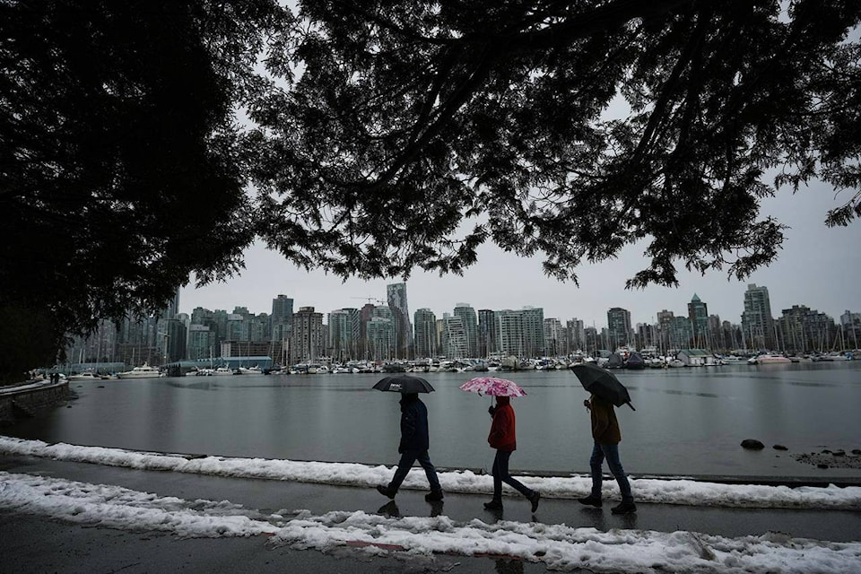
Flood watches and high streamflow advisories are posted across Vancouver Island and much of British Columbia’s inner south coast as heavy rain and high tides raise the risk of flooding after pre-Christmas snowstorms.
The River Forecast Centre has posted flood watches for Metro Vancouver, the Fraser Valley, Howe Sound and the southern two-thirds of Vancouver Island as heavy rain drenched the regions on Sunday and Monday, speeding snowmelt and causing additional run-off.
Environment Canada is calling for 60 to 120 millimetres of rain across the Sunshine Coast and Metro Vancouver by early Wednesday.
The weather office says it has “high confidence” that the rain and snowmelt, coupled with strong winds and high tides, will cause potentially damaging coastal flooding on low-lying areas from Vancouver and Howe Sound to the Sunshine Coast, East Vancouver Island and southern Gulf Islands.
The River Forecast Centre also says officials are keeping a close eye on the situation in northwest Washington state where a flood watch is in effect as the Nooksack River threatens to top its banks.
High water on that river was linked to last November’s devastating floods in the Fraser Valley and the centre says there may be a “small chance of a minor overflow” into the Sumas River drainage on the B.C. side of the border.
The City of Vancouver warned Monday of elevated flood risk as so-called king tides — exceptionally high seasonal tides — were due early Tuesday at the same time as strong winds were forecast to cause a significant storm surge.
“Low-lying areas … will be at an elevated flood risk and may experience overland flooding,” the city said in a statement.
The city had closed part of the Stanley Park seawall as a precaution.
Elsewhere, Environment Canada was maintaining winter storm warnings or special weather statements for parts of the southern and southeastern Interior as 25 to 30 centimetres of snow was forecast in the Kootenay and Boundary area before changing to rain or freezing rain later in the day.
A travel advisory was posted urging drivers to stay off Highway 3 east of Osoyoos. The route remained open, although DriveBC, the province’s online travel advisory system, warned of the “high probability” of closures on short notice.
Highway 1 through the Fraser Canyon just north of Hope was shut down Monday because of an avalanche hazard.
The Canadian Press
