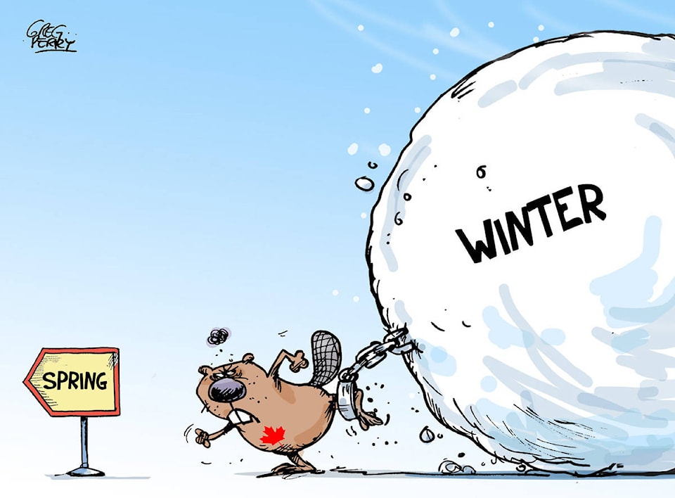
Readers take note — spring is just around the corner!
At the Townsman we’ve been saying that for weeks, but this time we mean it. And Environment Canada is backing us up.
Bobby Sekhon, a meteorologist with Environment and Climate Change Canada, says a ridge of high pressure building up this weekend is going to bring high temperatures to all of B.C., including the Cranbrook area.
“We’re actually going to see temperatures go above average for this time of year by the end of the weekend,” Sekhon said. “We’re predicting highs of plus 10 degrees on Sunday — the average high for this time of year is nine degrees.
“Sometimes, especially this time of year when we start to warm up, the warm air can be delayed for a couple of days getting to the surface, so even if we don’t reach 10 degrees on Sunday, it’s still trending in the right direction.”
Remember way back earlier this year, the balmy temperatures we had before that Arctic Cold Front muscled its way in — the so-called Polar Vortex? The last warm spell, Feb. 2, showed a high seven degrees in Cranbrook.
“So this weekend we’ll see temperatures that haven’t been this high since Feb. 2, before the cold air hit,” Sekhon said.
However, this month is shaping up to be a dry one.
“So far this month in Cranbrook we’ve gotten 3.8 millimetres of precipitation, and the average for March is 22 millimetres. It’s been fairly dry as we approach the mid-point of the month, and the next week looks fairly dry too. So depending on what happens that last week of March — which is still a little ways out — it could potentially be a drier March this time.”