Paul Rodgers
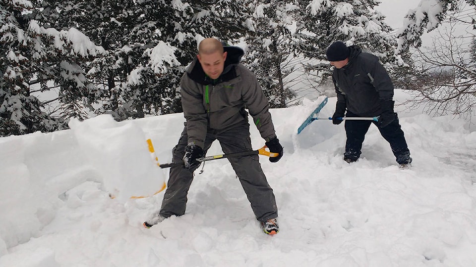
Environment Canada posted a snowfall warning for southern East Kootenay, including Cranbrook and Kimberley, early Thursday morning. We can expect 10 to 20 centimetres of wet snow, that may be mixed with some rain, that should ease up intoto a few light flurries by midnight Thursday in the southwest interior and by Friday morning in the Kootenays.
The weather system, as described by Environment Canada meteorologist Matt MacDonald, is a bit of an interesting setup. He said that the arctic front that is currently pushing across BC is arriving two to three weeks earlier than usual — we tend to get our first arctic air towards the end of November.
“[The arctic front] is colliding with moisture that’s being sent in from the coast so we have a low pressure system heading off the coast of BC sending moisture across the province and then it’s colliding with that very cold arctic air,” explained MacDonald. “And that’s kind of the perfect setup for heavy snowfall over the Kootenays.”
The light snow we experienced Wednesday is expected to intensify over Thursday as the low pressure system spins up off of the coast and continues to send moisture eastward, with intensity reaching its peak over Thursday night.
Due to Kimberley’s higher elevation, it can expect to get closer to 20 centimetres, whereas Cranbrook is looking at closer to 10 to 15.
“The Kootenays is an interesting little corner of the province with so much variability in the terrain and then of course in the amounts of snow we see,” said MacDonald.
“Fernie is a classic example too, just the variation in Sparwood to Fernie which is you know 20 kilometres away, they’ll often double or even triple the amount of snow in Fernie compared to Sparwood.”
MacDonald explained that this sort of influx of arctic air, which occurs two to five times per winter, builds over the Gulf of Alaska or over the Yukon and pushes down towards Southern BC and mark a drastic change in temperature.
“The temperatures here are going to plummet tonight,” MacDonald said in a Thursday morning phone interview. “We’re heading down to minus seven so definitely the coldest temperatures we’ve seen so far this year.”
He said that the normal temperature for this time of year is around minus three, so the temperatures over the next couple of days will be around five degrees colder than normal and that once that arctic air gets proper entrenched, we will be hovering around minus 12 for Friday night, and the cold air will persist until around Wednesday.
“The sun’s going to come back out on Saturday, but we’re into a solid week here of pretty cold conditions for this time of year, it’s going to feel like winter despite us still being in fall.”
The leading edge of these arctic outbreaks, which as previously stated occur two to five times a winter, is accompanied by flurries, blowing snow and gusty conditions before the cold air sets in.
“What complicates things,” added MacDonald, “is when you have the occurrence of the arctic air with Pacific moisture. So as is the case that we have today [Thursday], you have the storm spinning off the south coast of BC and it’s sending bands of moisture across the province and so those bands of moisture encounter the arctic air there’s really good forcing and support there for intensified precipitation.”
MacDonald said that this occurrence can definitely catch people of guard this early in the season and is a good reminder that because November marks the “true start” of storm season, its important to remember to get your snow tires on if you haven’t already and make sure all other necessary winterization activities are underway. He also advised to check www.drivebc.ca before heading out on the road, cautioning that visibility and road conditions could be impaired.