The Connell Ridge wildfire burning south of Cranbrook is now classified as ‘being held’ after being out of control since it first sparked at the beginning of August.
‘Being held’ means that the fire is not likely to spread beyond existing predetermined boundaries under prevailing conditions, however, further fire response can include fuel management activities and mop up in hot spot areas.
Late last week, fire crews conducted test ignitions in steep terrain on the southwest corner in order to determine if unburnt fuel between the fire perimeter and the fire guard is receptive to burning, according to an update from the BC Wildfire Service.
Following the test ignitions, officials concluded that those unburnt fuels would not burn in a way that would strengthen the existing control line, meaning that it will take longer to secure that area of the fire, as crews will need to focus on monitoring and extinguishing patches and hot spots.
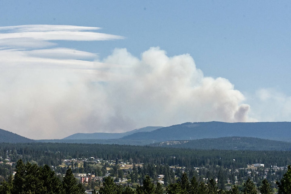
Based on infrared mapping conducted overnight Sunday, the fire is listed at 1,707 hectares in size.
As of Monday, the BC Wildfire Service has 82 firefighters, 12 helicopters, seven pieces of heavy equipment and 12 additional operations staff assigned to the wildfire.
An evacuation alert for six properties south of Mount Baker was lifted by the RDEK over the weekend, which had been in place since early August. However, an area restriction limiting public access to the backcountry around the fire remains in place.
Elsewhere in the region, the BC Wildfire Service is reporting two new lightning-caused starts south of Cranbrook; one directly south of Connell Ridge at Haller Road and another east of Moyie Lake that were discovered on Sunday.
The Weasel Creek fire continues to burn at the B.C. - Montana border, as the fire is now estimated at 1,190 hectares on the Canadian side.
The fire continues to move up the Couldrey drainage, which is where there is the most fire activity, according to the BC Wildfire Service. Airtankers have dropped fire retardant on the northwest ridgeline above where fire growth has occurred in order to prevent it from spreading upslope.
Heavy equipment has been utilized to install a bridge across Couldrey Creek to provide better access to the northwest flank, while also making progress on contingency lines ahead of the fire perimeter.
The BC Wildfire Service reports there are 79 firefighters, 12 helicopters, 14 pieces of heavy equipment, along with two structure protection personnel and 12 operations staff are assigned to fire response.
A new camp closer to the area is being established that is expected to be finished by end of day on Monday, which will help improve fire response activities and include water access, septic, fuel, generator-run power, communications and food.
Northwest of Sparwood, the Cummings Creek wildfire will be downgraded as a ‘Wildfire of Note’ after Monday, Aug. 22.
The fire is currently listed at 53 hectares in size.
Sprinkler systems and hoselay are in place and prepared for use if fire activity increases, while crews also finished planning and layout of contingency lines outside the fire perimeter if fire growth moves back down towards the valley bottom, however, that is not anticipated to occur.
trevor.crawley@cranbrooktownsman.com
Like us on Facebook and follow us on Twitter
Want to support local journalism during the pandemic? Make a donation here.