A ridge of high pressure brought an exceptionally strong warm air mass to British Columbia, and although Cranbrook hasn’t yet broken any temperature records, like places like Cash Creek, Quinton, Kelowna, Squamish and Trail, temperatures are noticeably higher than average.
On Tuesday, May 15 Cranbrook saw a high of 28 C. The record for this day, set back in 1924, is higher at 31.7 C, but Tuesday’s temperature is about eight degrees above normal for this time of year.
Lisa Erven, meteorologist for Environment and Climate Change Canada said that the significant air mass is not just affecting one community or another, but is covering western North America and even into the western prairies.
“In terms of the weather forecast going forward we do have today and tomorrow with that fairly hot air mass but then that ridge of high pressure is going to be moving eastwards,” said Erven. “So we will see a significant drop in temperature as we go into Thursday, Friday upwards of ten degrees lower than we’re going to experience in the next day or two here.”
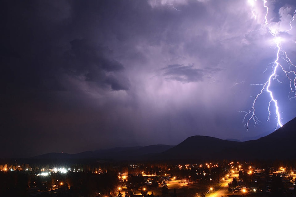
The forecast called for a 40 to 60 per cent chance of thunderstorms on Wednesday evening through Thursday morning with some accompanying precipitation. This could impact flooding in other parts of the province that are already dealing with flooding. In the Kootenays, Boundary, Arrow Lakes, Elk Valley and Okanagan Valley regions, 20 to 40 millimetres of rain could fall.
Erven detailed three main factors that contribute to potential spring time flooding —the amount of snow accumulated in alpine, how fast temperature warms up during the transition from winter to summer and significant rainfall events.
“We basically stayed fairly cold through the province through much of April but then once May came along the switch really flipped into these above-normal temperatures for several weeks on end,” Erven said. “So we have seen deterioration of the snowpack over these last two weeks and that has contributed to the swollen rivers.”
There are currently no flood alerts in the rivers around Cranbrook, although in the Kootenays as a whole, there is significant risk of flooding in the Slocan River, Salmo River, and Moyie River, plus other tributary river systems throughout the region.