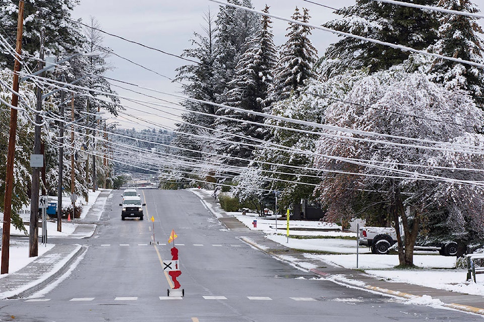
The spot of nasty weather and accompanying snowfall we experienced in Cranbrook was not out of the ordinary for the Elk Valley, though snowfall records were broken in the Sparwood area, which saw around 30 centimetres.
Cranbrook itself got a varied range of snowfall, around one to five centimetres, and it did result in some downed trees as the heavy, wet snow creates too much weight for some branches to bear when they still have their leaves on them.
According to Environment Canada meteorologist Doug Lundquist, the snowfall was the result of the remains of a modified arctic front coming from the central interior, originally from the Alberta side, colliding with a pacific system over the southern interior. Fortunately, that has passed and the snow should be gone soon.
“There is a ridge of high pressure building back in that we’re expecting the temperatures to pick back up and take Cranbrook, as early as tomorrow, into the eight to 10 degree range for the rest of the week,” said Lundquist. “We’re not forecasting much in the way of precipitation, maybe just a slight chance of showers or overnight flurries or higher terrain flurries for tomorrow but that’s it.”
So the region can look forward to a good week coming up, with mainly sunny skies and higher temperatures. Sparwood, which saw much greater snowfall, will see temperatures in the five to eight degree range and much of the snow should melt.
“I do see on the weekend we’re forecasting a few more flurries with perhaps a system for early next week, Monday and Tuesday in Sparwood but not in the Cranbrook area and that’s a long ways away,” said Lundquist. “In general, much warmer and that snow should start to retreat back up the mountainside.”
Lundquist highlighted some other high snowfalls in the region’s history, like when Sparwood got 47 centimetres on September 10, 2005 — a reminder that snow can fall on pretty much any day of the year around these parts.
October 1 and 2 have shown up as records for snowfall, and there is the potential to have three days in a row after Wednesday, but that’s because it was spread out over a three-day period.
“In general the records this time of year are from two to ten centimetres as the month goes on, more like 10 to 15 and at the end of the month about 20 centimetres in a day,” Lundquist said. “So it’s not really out of context for the month of October, maybe a week early or two.”
Looking ahead into the rest of the winter, Environment Canada is anticipating warmer than average temperatures due to an expected El Nino.
“Usually in El Nino winters we get an early cold outbreak, so usually in November or early December, maybe this is what’s happened here in October,” explained Lundquist. “So there’s an early cold outbreak and then the rest of the winter is tending to be mild and that’s the typical pattern for us for El Nino winters.”